
Program description
The Australian Government's Black Spot Program helps to reduce crashes and save lives on Australian roads by funding relatively low-cost safety works where there have been serious crashes or where serious crashes are likely to occur.
Sites put forward under the Black Spot Program must meet a range of eligibility criteria including a proven history of casualty crashes.
Upcoming projects
As part of the Australian Government’s Black Spot Program, the ACT Government will improve pedestrian and road safety at 19 intersections across Canberra.
The majority of traffic signals in the ACT incorporate full red arrow control for right turning movements, which minimises the risk of right-through vehicular accidents and right turn conflicts with pedestrians.
At some intersections there is no red arrow control for right turning movements. This means drivers can turn right through these intersections at the same time as pedestrians and cyclists might be crossing, creating a risk of conflict.
This project will install new dedicated right-turn red arrows at selected intersections, listed below. These changes briefly hold turning vehicles at the stop line while pedestrians and cyclists begin crossing, reducing the chance of collisions and improving visibility between all road users.
Intersections receiving right-turn arrow improvements
Central Canberra
- Cooyong Street/Mort Street
- Bunda Street/Akuna Street
- National Circuit/Sydney Avenue
- Captain Cook Crescent/Stuart Street/Murray Crescent
- Marcus Clarke Street/University Avenue
- Marcus Clarke Street/Allsop Street
- Anzac Parade/Blamey Crescent/Currong Street
- King Edward Terrace/Langton Crescent
- King Edward Terrace/Parkes Place
- Wakefield Avenue/Dooring Street
Tuggeranong
- Anketell Street/Pitman Street
- Anketell Street/Reed Street
- Anketell Street/Cowlishaw Street
- Anketell Street/Oakden Street
- Soward Way/Scollay Street
- Scollay Street/Reid Street
Belconnen
- Lathlain Street/Weedon Close/Chan Street
Gungahlin
- Francis Forde Boulevard/Amy Ackman Street/Zakharov Avenue
As part of the Australian Government’s Black Spot Program, the ACT Government will upgrade the intersection of Taverner Street and Laurens Street in Wanniassa to improve safety for all road users.
This intersection has a history of crashes, including several which resulted in injuries, as well as community concerns about speeding and near misses.
The project will implement the following improvements to enhance road safety through this intersection.
What we will deliver:
- Reduce the speed limit on Taverner Street to 70 km/h
- Reconfigure traffic lanes on Taverner Street to reduce travelling speeds and improve visibility for motorists exiting Laurens Street
- Reconfigure left turning lanes at the intersection to reduce conflict between vehicles
- Upgrade line marking, signage and street lighting at the intersection
These improvements are expected to reduce the likelihood and severity of crashes by slowing traffic, improving sight lines and making it easier for drivers to safely navigate through the intersection.
Four intersections across Canberra have been identified to receive new traffic signals to increase safety. More information about each of these intersections is below. Once the final details of the upgrades at each intersection are confirmed, they will be published below.
Hindmarsh Drive/Yamba Drive intersection, Garran
This intersection is located in the Woden Valley, on the southwest corner of the Canberra Hospital. It is a major junction between 2 key arterial roads and provides a north-south and east-west connection.
Hindmarsh Drive (Badimara Street – Eggleston Crescent), Chifley/Waramanga
Hindmarsh Drive connects Weston Creek and the Woden Valley, with other major roads, including the Tuggeranong Parkway overpass. Hindmarsh Drive is an arterial road that provides an east-west connection.
Haydon Drive/Mary Potter Circuit (south) intersection, Bruce
This intersection is on a major north-south connector road in Belconnen and provides entry to the North Canberra Hospital. The intersection is also very close to (about 100 metres north) of the busy Belconnen Way/Haydon Drive intersection.
David Street/Macarthur Avenue/Wattle Street intersection, Lyneham/Turner
This intersection is a major east-west connection through north Canberra connecting to Belconnen. Wattle Street and David Street also provide a connection to the residential suburbs of O’Connor, Lyneham and Turner. The intersection is also very close to (about 100 metres west) of the busy Northbourne Avenue/MacArthur Avenue signalised intersection.
Five intersections across Canberra have been identified for upgrades to increase safety. More information about each of these intersections is below. Once the final details of the upgrades are confirmed, they will be published below.
Bindubi Street/Bandjalong Crescent/Lyttleton Crescent intersection, Cook/Aranda
This intersection is located in north Canberra. The community has raised concerns regarding the skewed crossings at this location and proposed safety improvements.
Cotter Road entry to Greenhills Conference Centre intersection
Following a collision between a cyclist travelling on Cotter Road and a vehicle exiting the Greenhills Conference Centre driveway, safety improvements are proposed at this intersection.
Canberra Avenue/Dawes Street/Lockyer Street intersection, Griffith
The Canberra Avenue/ Dawes Street/Lockyer Street intersection is a major east-west connection. The intersection is equal distance from Hume Place and Manuka Circle.
Canberra Avenue – light pole near HMAS Harman
A road safety audit was undertaken to assess the safety of this section of road following the upgrade of the overhead power transmission lines along the south side of Canberra Avenue. A new transmission power pole has been proposed to better support this connection.
Isabella Drive (Ashley Drive – Goldstein Crescent) midblock, Gowrie/Richardson
Isabella Drive is an arterial road which provides an east-west connection between the Tuggeranong Town Centre and the Monaro Highway, with access to several suburbs via 4-way roundabouts and priority-controlled T-intersections.
Completed projects
Construction was completed in December 2021 to install traffic lights at 2 intersections along Southern Cross Drive as part of the Australian Government’s Black Spot Program. The intersections are:
- Southern Cross Drive and Ross Smith Crescent, Scullin/Florey
- Southern Cross Drive and Chewings Street, Scullin/Page.
Road crashes are a major cost to Australians every year. Black Spot projects target those road locations where crashes are occurring. By funding measures such as traffic signals and roundabouts at dangerous locations, the program reduces the risk of crashes.
Crash statistics
A total of 69 collisions occurred in the five-year period from 1 January 2012 to 31 December 2016 along Southern Cross Drive between Kingsford Smith Drive and Coulter Drive. These included one fatality and seven injury collisions. It was based on these statistics that these intersections were identified for traffic lights.
However in the four years since (1 January 2017 to 31 December 2020) a further 37 collisions have occurred, including one fatality and five injury collisions, indicating the continued need for intervention.
Photos
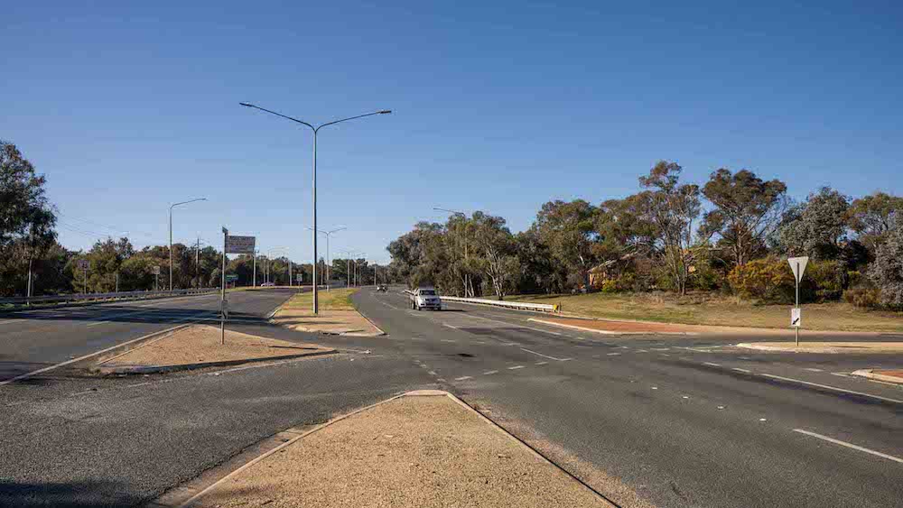
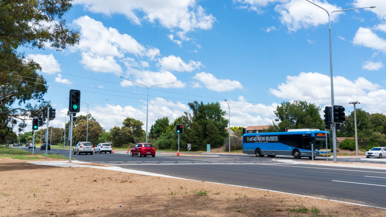
Intersection of Southern Cross Drive and Ross Smith Crescent
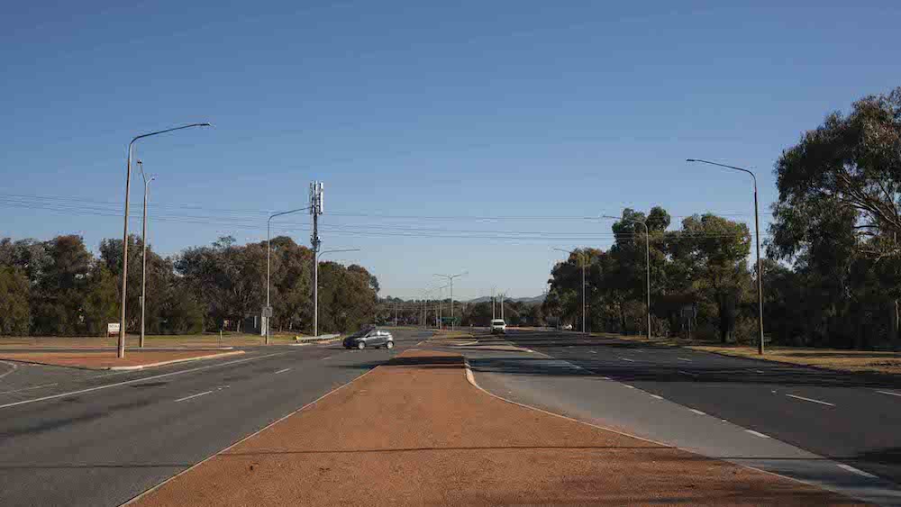
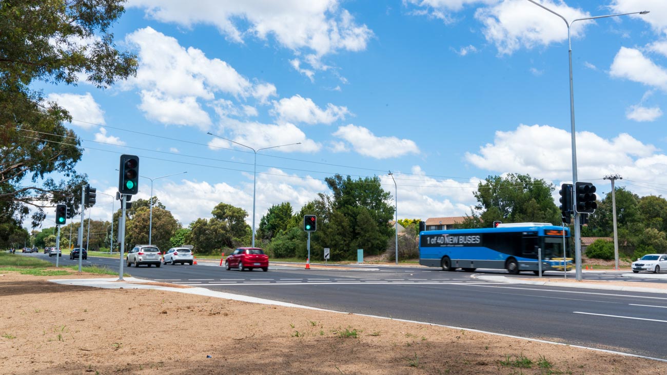
Intersection of Southern Cross Drive and Chewings Street
Construction is complete along Mawson Drive between Athllon Drive and Ainsworth Street in Mawson. The project delivered:
- channelisation of Mawson Drive to single lanes in both directions, with dedicated turning lanes
- conversion of Mountevans Street to left-in and left-out only
- introduction of a 40 km/h zone on Mawson Drive between Athllon Drive and Hurley Street
- installation of traffic calming devices, including asphalt speed humps and raised pedestrian crossings, within the 40 km/h zone (see map below for locations).
Construction was completed in July 2023 to install traffic lights at this intersection. In addition, the speed limit was reduced from 80km/h to 60km/h on an approximately 800-metre section of Hindmarsh Drive from east of Brierly Street to west of Carbeen Street on Hindmarsh Drive.
Construction was completed in September 2023 to upgrade the existing traffic signals to include a signalised right-turn arrow from Phillip Avenue into Windeyer Street. In addition, a dedicated through lane and localised formal on-road cycle lane was also constructed on Phillip Avenue.
Construction was completed in October 2023 to install new traffic lights and two additional right-turn lanes in both directions on Limestone Avenue at the intersection. The existing signalised pedestrian crossing was also removed.
Construction was completed in October 2023 to convert the intersection into a left-in/left-out only for the community with removal of the right turn from Isabella Drive into Benham Street. The right-turn from Benham Street onto Isabella Drive has remained accessible for emergency vehicles only.