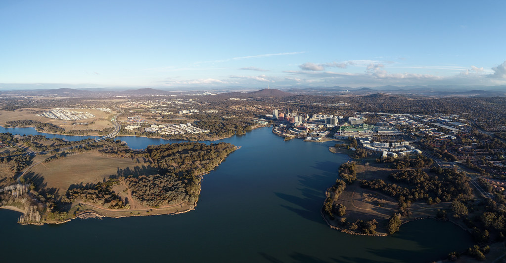
Canberra's urban lakes and ponds


Canberra's urban lakes and ponds

Our urban lakes and ponds are important community resources. They improve visual amenity, offer a place for leisure and recreation, and provide a sanctuary for plants and animals.

The ACT Government maintains two lakes and more than 160 ponds and wetlands in urban areas.

Canberra's lakes and ponds are designed as 'settling ponds'. This means they trap nutrients, soil, litter and debris, while improving the quality of water downstream.

The ACT Government manages Lake Ginninderra and Lake Tuggeranong which contain major recreational facilities for all ages. This includes beaches, designated swimming areas, jetties, boat ramps for non-petroleum powered boats, BBQs and playgrounds.

Each body of water is divided into zones based on water and ecological criteria. They form the basis for managing water bodies throughout the ACT.

For more information about the management of Canberra's urban lakes and ponds, refer to the Canberra Urban Lakes and Ponds Plan of Management (PDF 12.9 MB).

aerial view of lake ginninderra

Managing our waterways

The ACT Government manages most of the lakes and ponds in Canberra. The National Capital Authority manages the water surface of Lake Burley Griffin and perimeter areas which are on national land such as Commonwealth Park and the Parliamentary Triangle.

For information on boat licences and registration visit Access Canberra.

Cleaning urban lakes and ponds

The ACT Government is responsible for removing litter and debris from Canberra's urban lakes and ponds. This includes litter that is floating in the water, washed up on the shoreline or trapped in the reeds.

The regular litter removal program aims to target all Canberra's 160+ urban lakes and ponds at least 6 times a year.

Higher use areas such as lakes or waterways adjacent to town and district parks are targeted weekly.

Flood debris and illegal dumping of trolleys, furniture and other items are removed from waterways reactively where required.

The ACT Government also undertakes:

  • weed removal at wetlands, bio retention basins, ponds, lakes and creek lines
  • revegetation projects at sites where woody weeds have been removed
  • nutrient removal through harvesting azolla (duckweed) from ponds.

Other city services also play an important part in keeping our waterways clean. Regular street sweeping helps stop organic debris and sediment from entering the stormwater system. There is also a program to clean and maintain gross pollutant traps, sediment traps and sediment ponds which help keep our waterways free of litter and debris.

Water quality and ecological zones

Our monitoring of water quality and ecology has identified a pattern of progressive water quality improvement longitudinally downstream. This has resulted in three distinct water quality and ecological zones.

  • Inlet Zone (Water Management Zone 1): high in suspended solids, nutrients, organic material and bacteria. Typically, this zone comprises the shallow water emergent aquatic plant ecosystems described above. It is a highly productive zone, sustaining high biomass of plants, macroinvertebrates, fish and birds.
  • Intermediate Zone (Water Management Zone 2): edge macrophytes and clear water, having reduced (fine) levels of suspended material, nutrients and bacteria. It typically comprises extensive submerged macrophytes and epiphytic and planktonic algae.
  • Outlet Zone (Water Management Zone 3): low in suspended solids, nutrients and bacteria, and low in planktonic algae. Typically, this zone comprises the deep water planktonic algal ecosystems described above.

For more information and weekly water quality updates, visit the water quality in our lakes, ponds and rivers page.

About our lakes and ponds

Lake Ginninderra

Lake Ginninderra is located on the Ginninderra Creek adjacent to the Belconnen Town Centre.

The lake's water is comprised of stormwater discharge from urban and rural areas. It has a catchment of 9,800 hectares, including Gungahlin and eastern Belconnen.

Lake Ginninderra was established in 1974 with the construction of the Ginninderra Drive embankment over Ginninderra Creek. It has a surface area of 105 hectares and an average depth of 3.5 metres. The lake is U-shaped, forming an extensive central peninsula.

The lake's eastern arm comprises the inflow of Ginninderra Creek, from Giralang down past the naval station to the southern tip of the peninsula. This area comprises extensive wetland and bird habitat for much of its length.

Facilities

The lake is a popular recreation facility. It is a great place for swimming, canoeing, sailing, fishing and walking.

Swimming areas, toilets and barbecue and picnic areas are located:

  • Downstream of the Ginninderra Drive bridge on the eastern arm
  • Macdermott Place on the north western side of the lake.

Boat ramps are located at:

  • Macdermott Place on the north western side
  • Diddams Close on the north eastern side.

A cycleway and walkway have been constructed around the full periphery of the lake. This links with the Belconnen cycleway network at a number of locations.

For more information on the surrounding parkland, visit Lake Ginninderra District Park.

Stormwater control

The lake is an important stormwater retention facility. It links the Giralang, Gungahlin, Eastern Valley Way and Benjamin Way drains or waterways to the lower part of Ginninderra Creek.

It is possible for lake water to be used for irrigation of the John Knight Memorial Park area.

A gross pollutant trap (GPT) and small pond are located on the northern inlet end. They provide an important facility for intercepting and limiting litter discharged from the lake. They are also an extension of the wetland habitat zone.

The Eastern Valley Way GPT and wetlands at the southern end of the lake similarly serve to intercept significant amounts of litter discharged from the Eastern Valley Way drain.

Lake Tuggeranong

Lake Tuggeranong is situated adjacent to the Tuggeranong Town Centre. It has a surface area of 57 hectares and spans from Bonython to Kambah.

The lake's water is comprised of stormwater discharge from urban and rural areas.

Lake Tuggeranong was established in 1987. It was built as a settling pond to trap soil and debris and improve the quality of the water flowing into the Murrumbidgee River.

Facilities

There are picnic and barbecue areas and public toilets in the following places:

  • Town Centre Park
  • Mundang Beach (Sea Scouts)
  • Nguru Beach.

A cycleway and walkway surround the full periphery of the lake. This links to the Tuggeranong cycleway network at a number of locations.

To find out more about the surrounding parkland, visit Lake Tuggeranong District Park.

Stormwater control

The lake provides an important stormwater detention facility, linking Tuggeranong Creek and its tributaries to the Murrumbidgee River.

Lake water is used for irrigation of the Tuggeranong Town Park.

Pollution control ponds

Lakes and ponds play a key role in managing pollution and stormwater discharge. There are 160+ ponds and wetlands across the ACT that contribute to pollution control.

Many ponds have gross pollutant traps installed at their inlets to limit litter discharge. Aquatic vegetation within ponds also helps trap suspended sediment and filter nutrients before the water exits the pond and continues downstream.