The Age Friendly Suburbs Program got underway in the 2015-16 financial year, with funding provided over five years. 12 suburbs received funding: Weston, Ainslie, Monash, Kaleen, Page, Hughes, Stirling, Narrabundah, Holt, Campbell, Isabella Plains and Aranda.
The upgrades completed as part of the project in each suburb are summarised below.
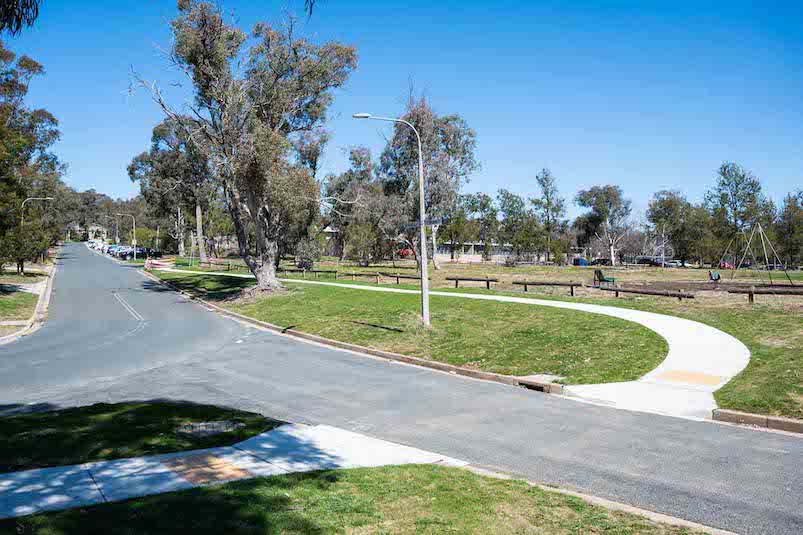
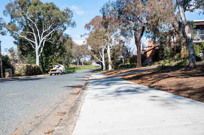
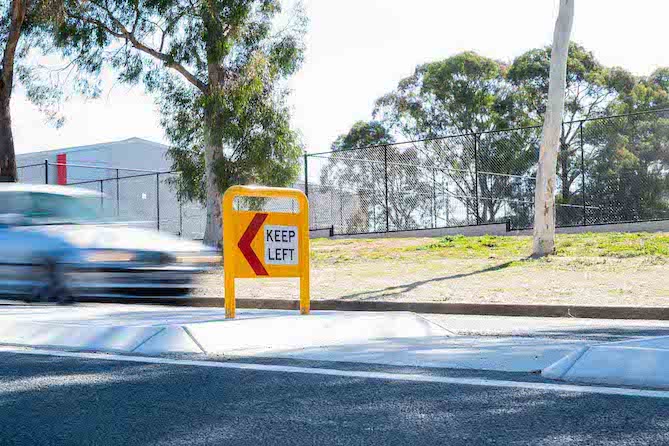
Weston
Ainslie
Monash
Improvements delivered:
- paths between Goodwin Village and Monash Shops along Cockcroft Avenue
- paths between Cockcroft Avenue and Cowdery Place
- pram crossings and refuge islands associated with these three paths.
Kaleen
Improvements delivered:
- the path between the childcare centre and Kaleen Plaza along Georgina Crescent
- the path between the shared path south of Rubicon Street and the car park in front of the Kaleen Community Hall
- existing crossing across Maribyrnong Avenue in front of Kaleen Plaza
- paths and crossings at Gwydir Square.
Page
Improvements delivered:
- a new refuge island on Groom Street, south of the intersection with Carruthers Street
- an opening in the traffic island and kerb ramps on Carruthers Street east of the intersection with Groom Street
- a completed path connection from the refuge island on Groom Street, to the refuge island on Carruthers Street
- a new refuge island and speed hump on Kent Street north of the intersection with Birdwood Street and the replacement of the old, concrete bus shelter with a new glass shelter
- remediation of sections of path in the green belt open space that runs behind Hughes Primary School.
Hughes
Improvements delivered:
- a new path along Birrell Street between Burkitt Street and Knaggs Crescent
- a new path along Knaggs Crescent between Burkitt Street and Dallachy Street
- a new path connecting Thozet Place and Bynoe Place through the open space.
Aranda
- a new path along the northern side of Banaga Place adjacent to the oval which will link to the new path on Banambila Street
- a new crossing connection across Banaga Place
- a new path along Banambila Street between Arabana Street and Banaga Place
- lowering of the speed limit from 60km/h to 50km/h along Bandjalong Crescent
- installing new 50km/h signage at the end of school zones (onto Bindel Street)
- reducing lane width along Bandjalong Crescent to 3.5 metres and creating a shoulder
- line marking on-street parallel parking spaces adjacent to Aranda Primary School between Bindel Street and Banambila Street.
Campbell
- a new path from the existing bus stop on White Crescent to Howse Street
- a new two metre wide pedestrian refuge on White Crescent
- a new path through the parkland from the Campbell shops to White Crescent
- a new path behind the Southern Cross Care W.E O’Brien Court facility towards the Campbell shops.
Stirling
- a new path through the parkland to Fremantle Drive connecting to existing path network behind Adria Village Aged Care facility
- a new crossing on Fremantle Drive adjacent to the bus stop near the Adria Village Aged Care facility
- a new crossing on Fremantle Drive adjacent to the Bupa Aged Care facility.
Isabella Plains
- a new path from Cromwell Circuit to the existing cycle path
- a new zebra crossing over Ellerston Avenue to provide access to the Isabella Plains shops
- various upgrades to the Isabella Plains shop’s car park to help reduce vehicle speeds including:
- two new speed cushions
- increasing the size of the car park central island to reduce aisle widths from more than 10 metres to approximately six metres
- new line marking to change part of the car park to one-way circulation.
Narrabundah
- a new path along Brockman Street between St Aidans Retirement Community and La Perouse Street
- a new path connecting the existing path on Carnegie Crescent to the bus stop adjacent to the Carnegie Crescent/Finniss Crescent intersection
- upgraded kerb ramps across Lumeah Street at Boolimba Crescent intersection and new crossing point on Boolimba Cresent to community garden
- a new path along the indicative dirt path through parkland between Boolimba Street and Bareena Street
- removal of existing path on Kootara Crescent and construction of a new one between Boolimba Crescent and community services driveway (towards the Narrabundah shops)
- removal of existing kerb ramps on Arinya Street and construction of a new one at Boolimba Crescent intersection
- replacement of kerb ramps on Leahy Close at Goyder Street intersection.
Holt
- a new refuge island on Hardwick Crescent off Starke Street between the car wash and McDonalds
- a new pedestrian refuge island on Starke Street near existing underpass nearest intersection is with Luke Street
- an additional pedestrian refuge island on Luke Street between the Uniting Church and local shops
- a new refuge island and path connection on Starke Street near the roundabout with Hardwick Crescent.